What Am I going To Do With This?
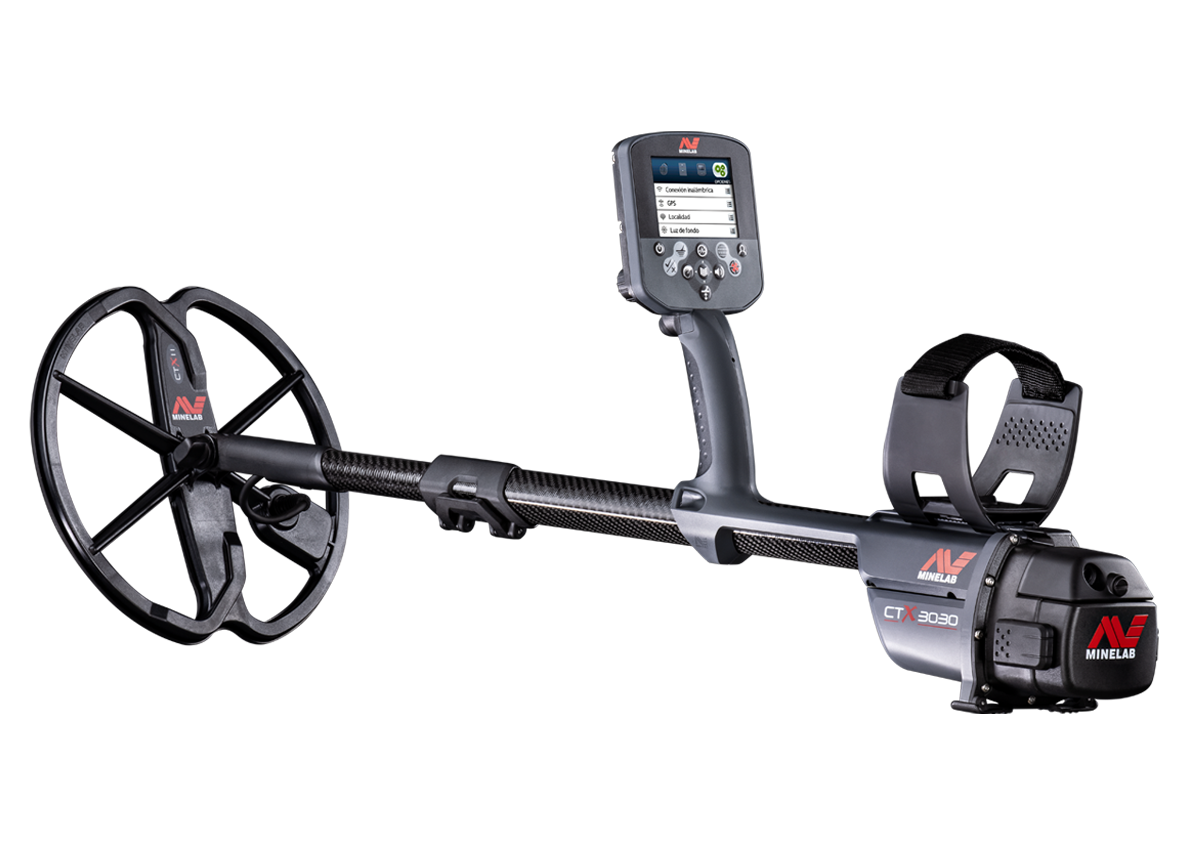
There has been a lot of questions as to the benefits of the GPS Mapping feature of the CTX 3030 and to be honest I was unsure of its usability when it came to practical coin & relic hunting. I can remember sitting down and reading the manual while scrolling through the features of the GPS mapping, thinking to myself, where could I possibly use features like WayPoints, FindPoints, GeoTrails, GeoHunts and the list goes on, I was really struggling with the concept.
Then one night while watching a video of a ploughed field hunt somewhere in England, I started thinking how hard it must be with no landmarks like an old ruin or row of trees to navigate from. Usually while coin & relic hunting I have an old ruin, depression in the ground, pile of rocks or something to use as a bearing, which makes it quite easy to grid an area and go straight back to the same spot.
Another Great Feature of the CTX 3030
At this point my mind started to go into overdrive with the possibilities of using the GPS mapping and how vital it is going to be for situations where there are no landmarks. I decided to put together a couple of videos, one ‘to create a find point’ and the other a ‘go to find point’, to see how accurate the feature would be. This was done on two different days so that it would allow for any variations with satellite movement, weather etc. I will say that I was very impressed with the ability of this function to take you to within a couple of meters of a previous find also the ease of using the function, very exciting.
XChange 2 Combined with the CTX 3030
It was all only a matter of thinking outside the square and not being complacent about stepping into the future of discovery.
The most exciting benefit for me is being able to use the XChange 2 program to find potential sites, mark them with a WayPoint, simply upload it to the CTX 3030 and use the go to WayPoint feature to get me within meters of the spot, awesome!
This has been extremely beneficial of late as I have been given permission to hunt nine old ruins at different locations on approximately 600 acres, the owner told me roughly where they are. I was then able to locate each site, make WayPoints in XChange 2, upload them to my CTX 3030 by simply dragging and dropping and the WayPoints are transferred to the CTX 3030.
It is then just a case of finding the WayPoint and going straight to the location, very impressive to say the least, but you will have to wait for the next blog to see the benefits.
View FAQs for XChange 2 here.
Mark Williams


Comments