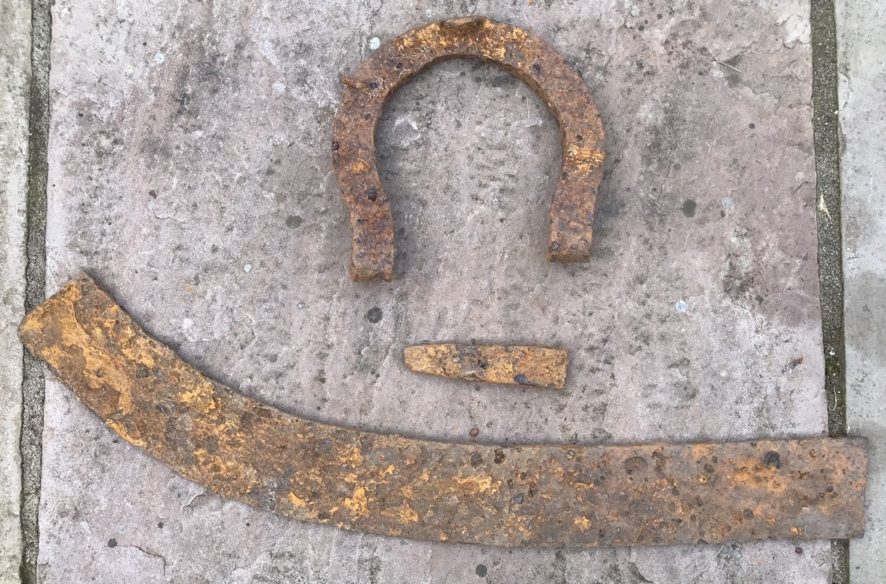
I used some of my time during lockdown to look for the lost port of Setantiorum. It is supposed to reside somewhere between Belisama estuarium (River Ribble) and Moricambe estuarium (Morecambe Bay) in the UK according to the map of Britannia produced by Claudius Ptolemy around 150 A.D. I looked at the free LIDAR data on the Environment Agency website using their Arcgis GIS viewer and identified 4 sites. This is the first site, and after enhancing the image using LVT archaeology software for flat terrain, I found a number of square and rectangular buildings that look to be roman. I have made a number of finds on the first few visits (see photo) and hope to find more on subsequent visits. Importantly I have the landowners permission. Will keep you posted on further finds next month.